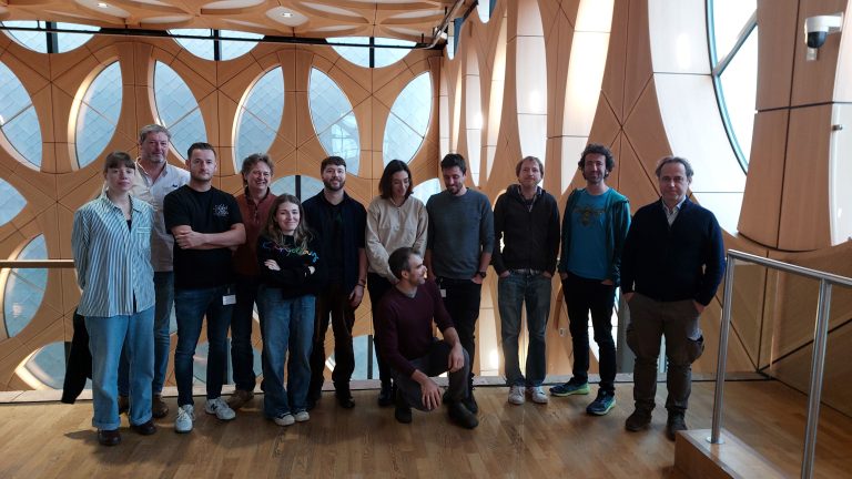
Category Vasilakos

High-Resolution Eutrophication Mapping Using Multispectral UAV Imagery and Unsupervised Classification: Assessment in the Almyros Stream (Crete, Greece)

We are proud to announce that our Msc alumna Matenia Karagiannidou, has published her MSc thesis research as a peer-reviewed article in the Remote Sensing journal (MDPI) entitled “High-Resolution Eutrophication Mapping Using Multispectral UAV Imagery and Unsupervised Classification: Assessment in…

Participation in the ANTENNA Project Second AGM

As part of the ANTENNA Project, Asst. Prof. Christos Vasilakos represented the University of the Aegean (UAEGEAN) at the project’s Second Annual General Meeting, hosted at the Naturalis Biodiversity Center in Leiden, The Netherlands.Further information about the meeting is available…

RSGIS Research Group @ IDRiM2025

Assistant Professor Christos Vasilakos participated in the 15th International Conference of the Integrated Disaster Risk Management (IDRiM) Society (IDRiM2025), titled “Advancing Disaster Risk Reduction in Islands and Remote Areas.” The conference emphasized the distinct risk environments and complex challenges faced…

Fieldwork Support for Water Resources Research

Our research group is supporting the fieldwork of PhD candidate Ms. Stamataki, focusing on the assessment of water resources quality. Specifically, the RSGIS research group is conducting UAV flights equipped with the MicaSense Altum-PT camera, in order to correlate aerial…