Mapping the Future: Innovating Earth Insights with Remote Sensing & GIS
Welcome to the webpage of the Remote Sensing and Geographic Information Science (RSGIS) Research Group at the Department of Geography, University of the Aegean. Our newly established team focuses on harnessing remote sensing and GIS technologies to address geographic challenges through cutting-edge applications. A core aspect of our work lies in integrating artificial intelligence (AI) and machine learning (ML) to develop innovative solutions for spatial analysis, environmental monitoring, and urban planning. We are committed to advancing research, fostering collaboration, and inspiring excellence in the application of AI-driven techniques to geographic information science. Join us in exploring the future of geospatial innovation.
News
- MSc Thesis: UAV and deep learning for the high-resolution seabed mapping
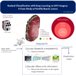 Congratulations to Anna Ćulibrk on the successful completion of her MSc thesis!We are delighted to celebrate the successful completion of Anna’s MSc thesis, which explored the use of UAV imagery and deep learning semantic segmentation for the high-resolution seabed mapping… Read more: MSc Thesis: UAV and deep learning for the high-resolution seabed mapping
 - MSc Thesis: 7-Band Deep Learning for Urban Land Cover Mapping
 Congratulations to our MSc student, Nikos Koroniadis, on the successful completion of his Master’s thesis! His research explores how multispectral, thermal, and geometric information can significantly improve the automated classification of urban land cover from UAV imagery using deep learning.… Read more: MSc Thesis: 7-Band Deep Learning for Urban Land Cover Mapping
 - New Web GIS Application for Wildfire Management in Chios
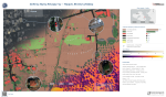
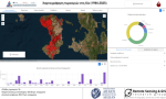 The Remote Sensing and Geographic Information Systems (RSGIS) Research Group of the Department of Geography, University of the Aegean, has developed an interactive Web GIS application to support wildfire management in the island of Chios. The application was created as… Read more: New Web GIS Application for Wildfire Management in Chios
 - Asst. Prof. Vasilakos Christos Visits the Geographical Institute of Kiel University through Erasmus+ Mobility
 As part of the Erasmus+ staff mobility program, Asst. Prof Vasilakos C. from the Department of Geography, University of the Aegean, visited the Geographical Institute of Christian-Albrechts-University of Kiel, Germany, hosted by Professor Vafeidis Athanasios. The visit aimed to strengthen… Read more: Asst. Prof. Vasilakos Christos Visits the Geographical Institute of Kiel University through Erasmus+ Mobility
 - Can Greece Solve Its Wildfire Problem?
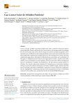 We are pleased to announce our latest publication in the journal GeoHazards. The paper highlights how climate change, limited forest and fuel management, urban expansion into wildland areas, and rural abandonment have collectively intensified wildfire risk across the country. It… Read more: Can Greece Solve Its Wildfire Problem?
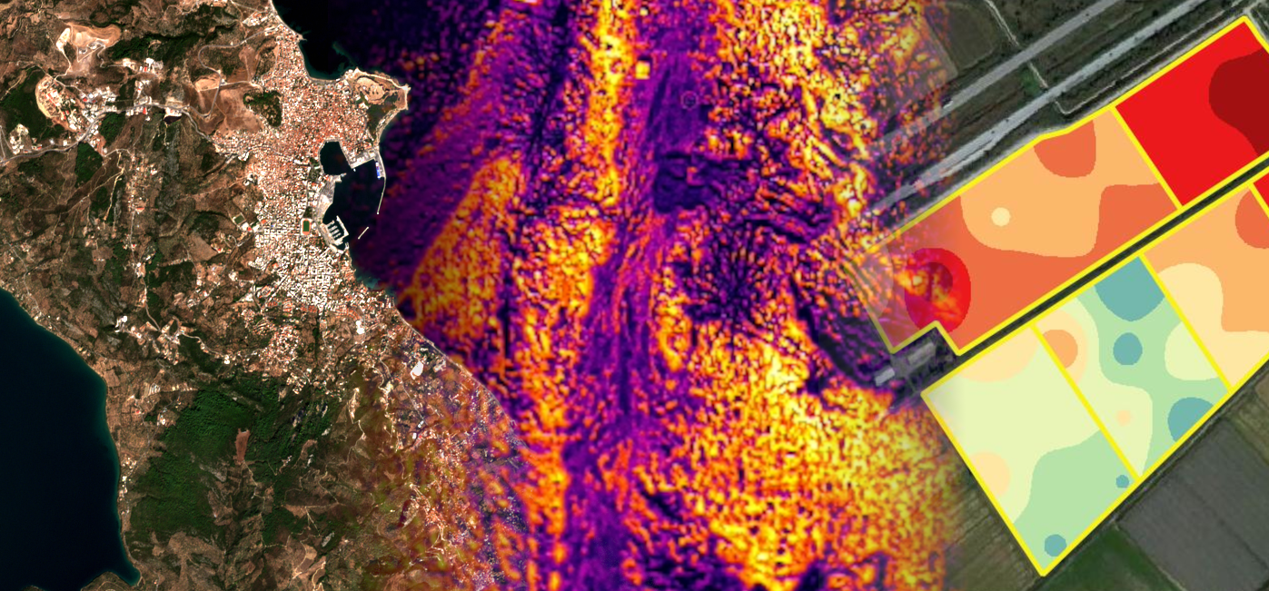
 - High-Resolution Eutrophication Mapping Using Multispectral UAV Imagery and Unsupervised Classification: Assessment in the Almyros Stream (Crete, Greece)
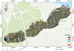 We are proud to announce that our Msc alumna Matenia Karagiannidou, has published her MSc thesis research as a peer-reviewed article in the Remote Sensing journal (MDPI) entitled “High-Resolution Eutrophication Mapping Using Multispectral UAV Imagery and Unsupervised Classification: Assessment in… Read more: High-Resolution Eutrophication Mapping Using Multispectral UAV Imagery and Unsupervised Classification: Assessment in the Almyros Stream (Crete, Greece)