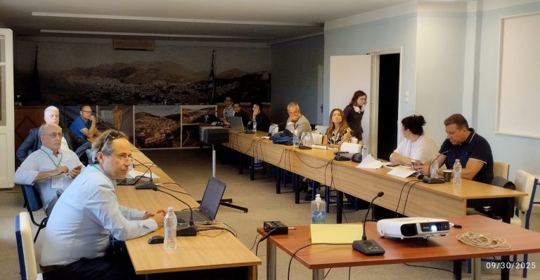
Alexandros Asvestas presented part of his MSc thesis at the 10th Panhellenic Conference of the Hellenic Society for Non-Destructive Testing, titled “Integrating UAV Multi-Sensor Data for Archaeological Site Detection at Thermi, Lesvos.” His research employs a multi-sensor methodology, integrating RGB photogrammetry, LiDAR, and drone-based thermography to investigate the prehistoric site of Thermi on the island of Lesvos. High-resolution RGB imagery enabled detailed mapping, while LiDAR-derived Digital Terrain Models (DTMs) revealed microtopographic anomalies. Thermal imaging was used to detect potential subsurface features by analyzing variations in thermal inertia. Statistical and Kernel Density Analyses indicated a strong correlation between thermal anomalies and architectural remains, validating the potential of UAV thermography for archaeological prospection. The study highlights the critical role of adaptive flight planning, as environmental conditions greatly affect the visibility of thermal anomalies. Overall, the findings demonstrate that the integration of multispectral sensors and seasonally timed data acquisition can significantly enhance the accuracy and effectiveness of UAV-based archaeological surveys.
The presented paper can be downloaded here.