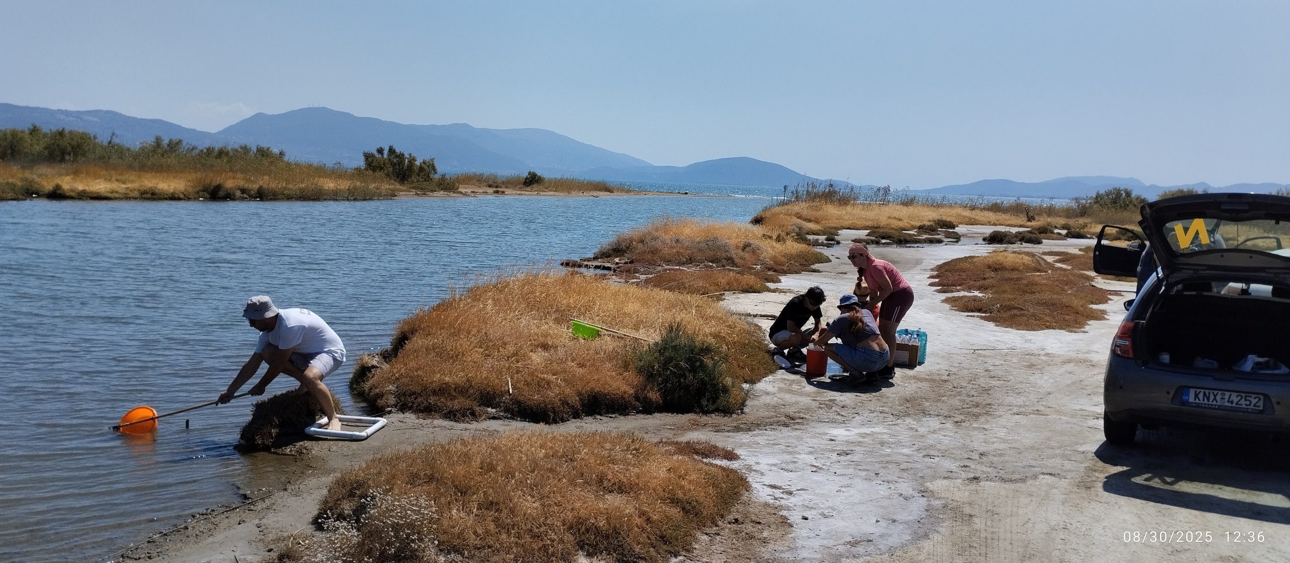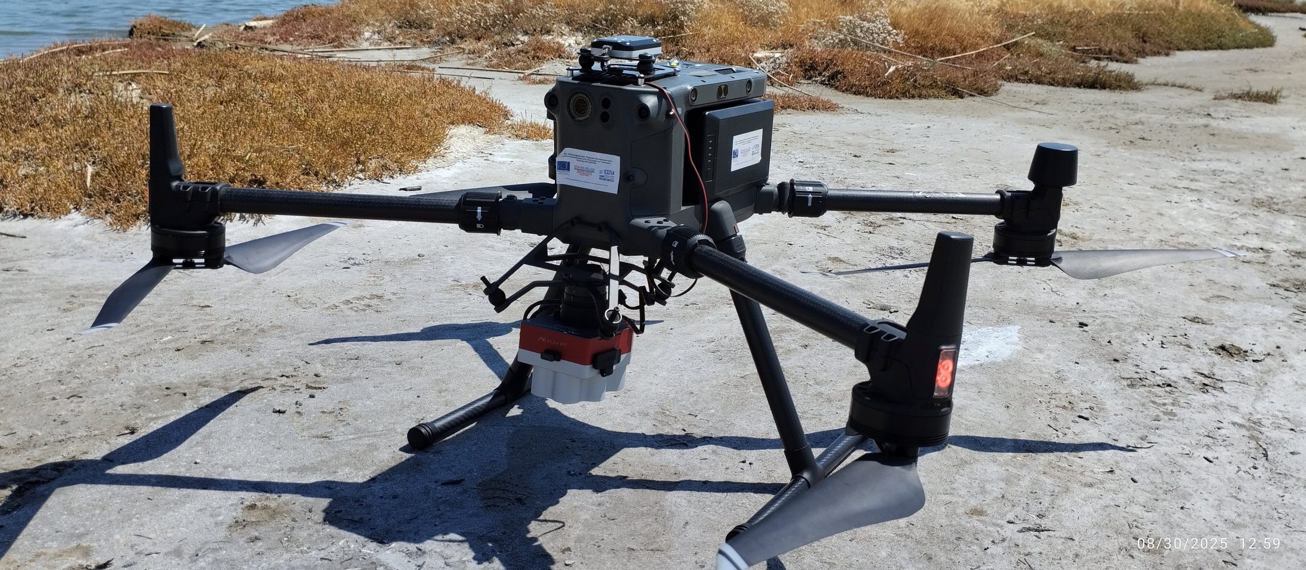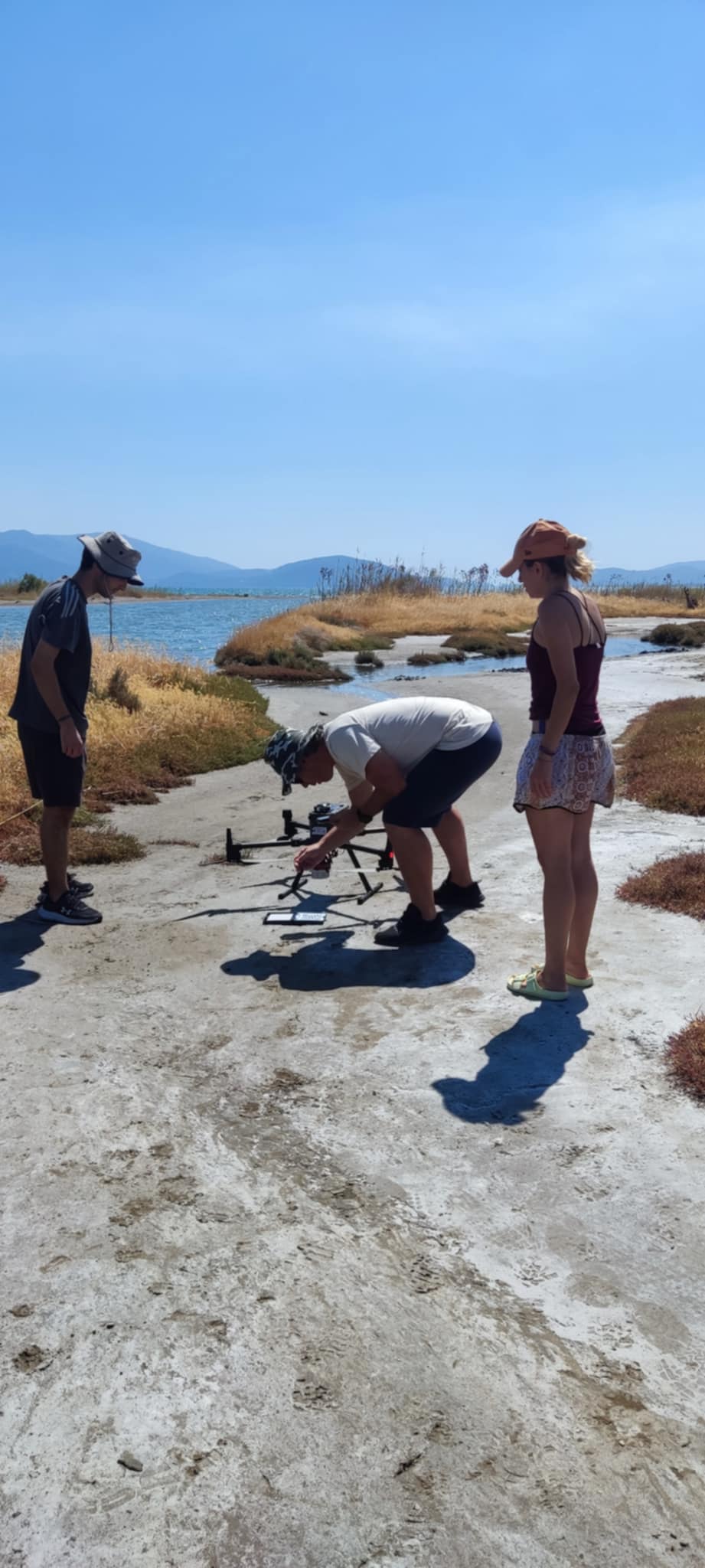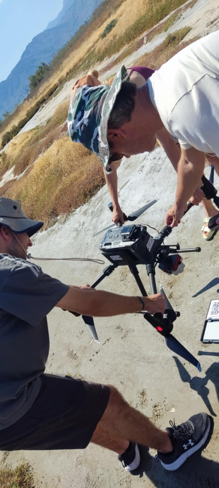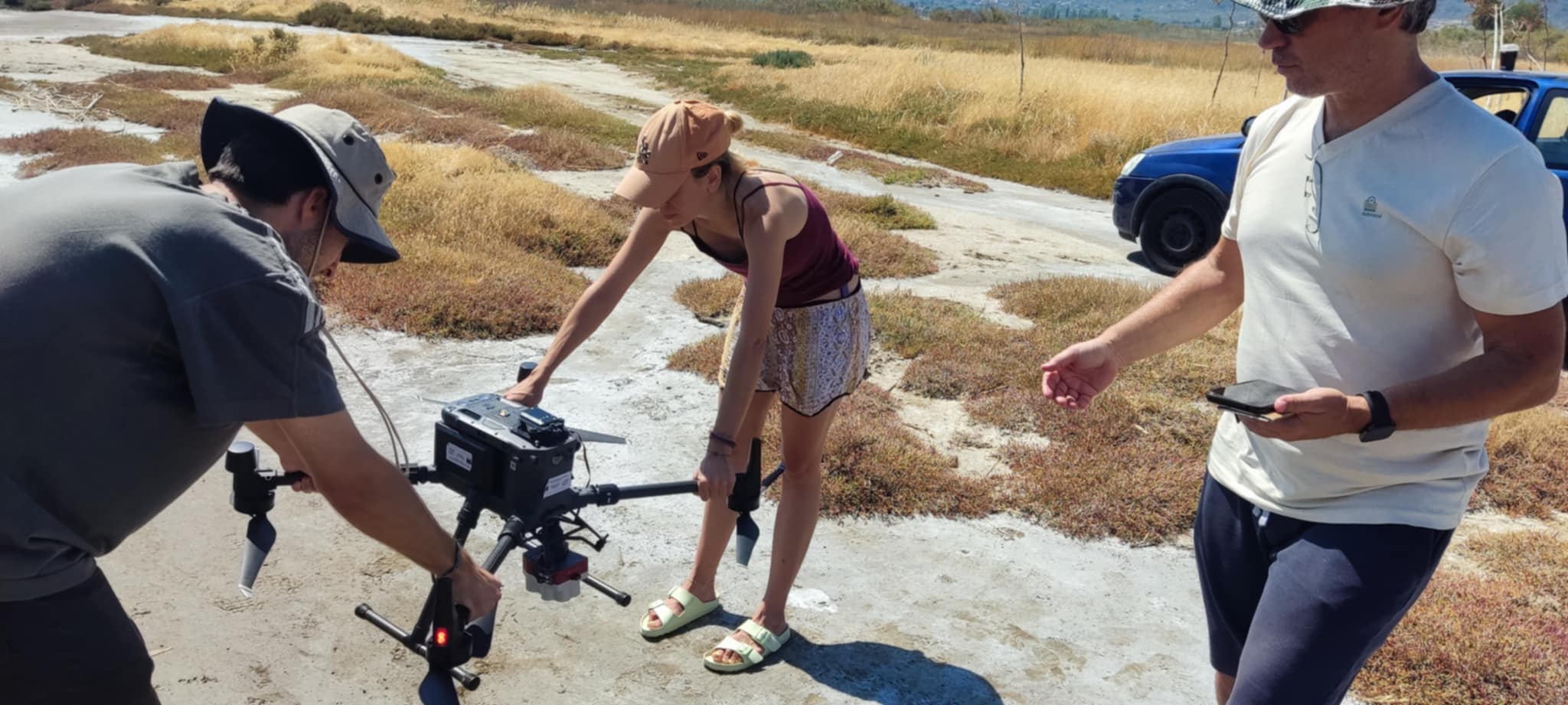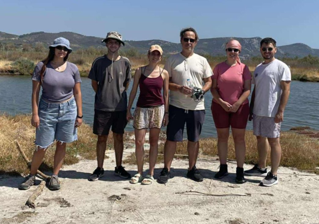
Our research group is supporting the fieldwork of PhD candidate Ms. Stamataki, focusing on the assessment of water resources quality. Specifically, the RSGIS research group is conducting UAV flights equipped with the MicaSense Altum-PT camera, in order to correlate aerial data with quantitative measurements collected both in situ and from laboratory samples.
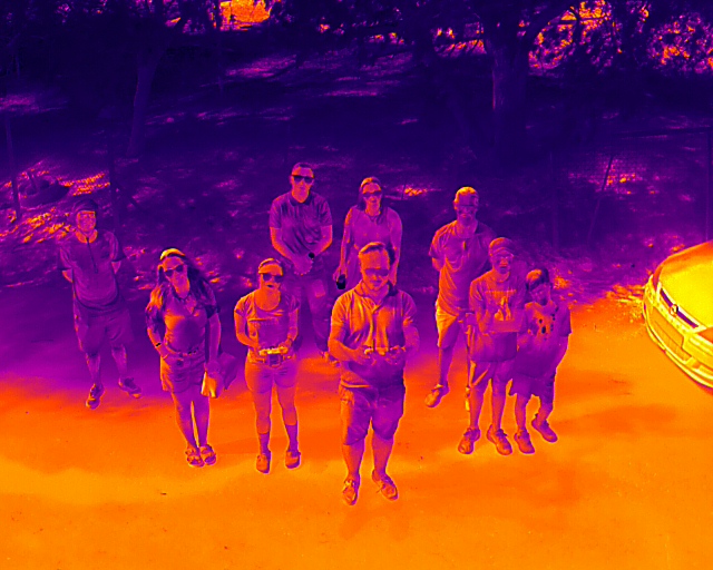
This is the first research project where we are leveraging the advanced capabilities of our new camera, enabling the simultaneous acquisition of multispectral and thermal data.
Stay tuned for the first results!