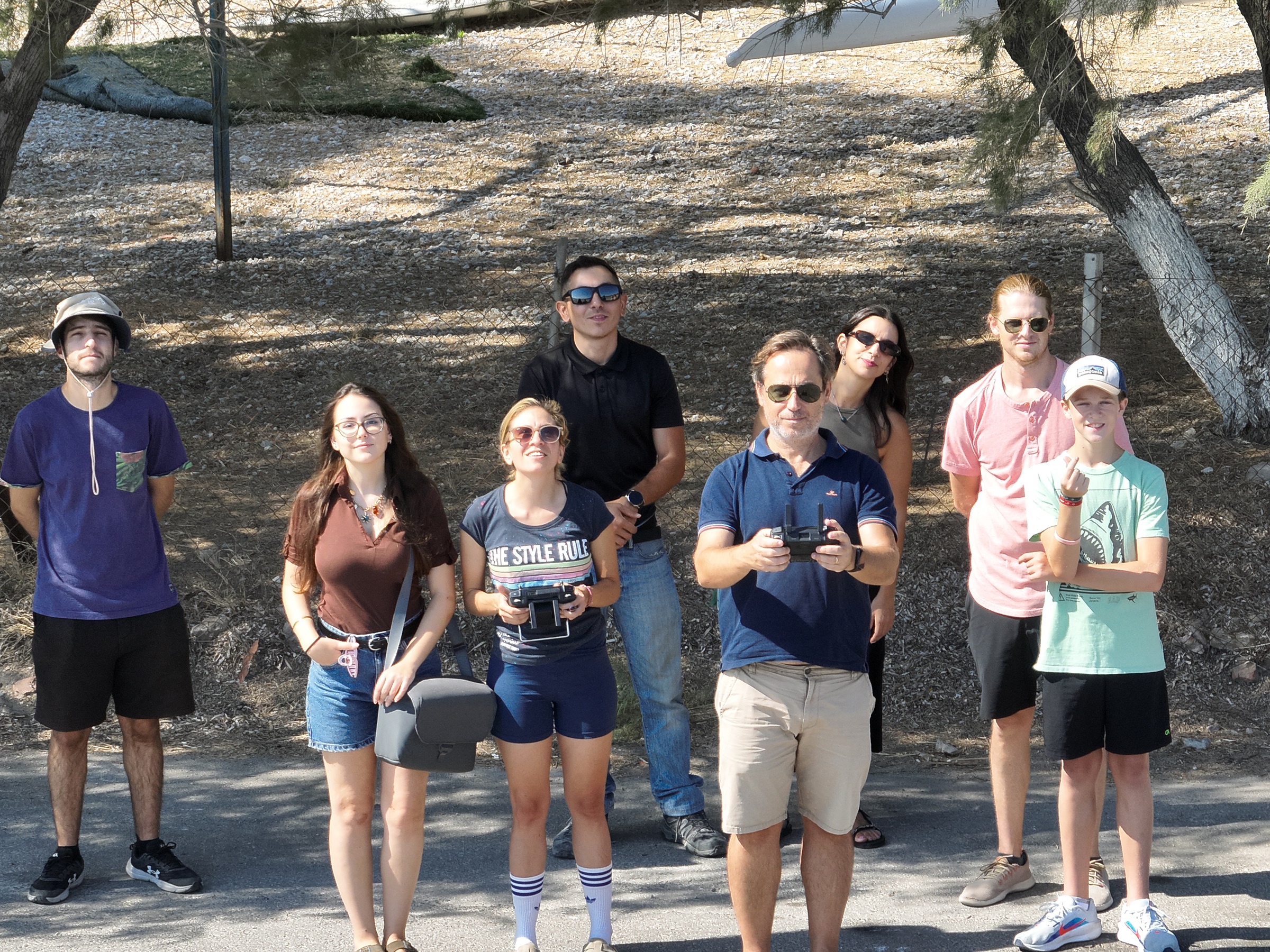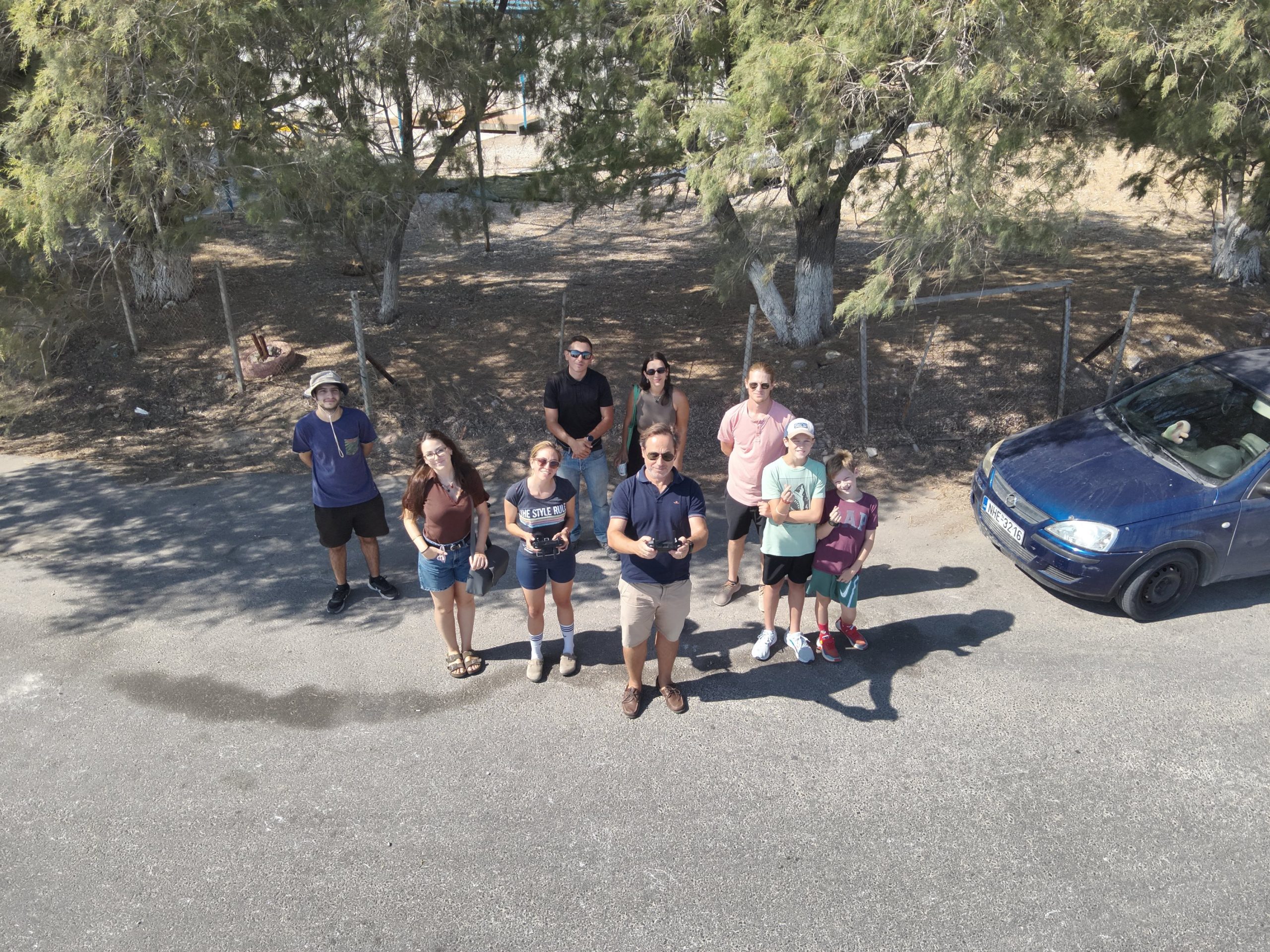
The RSGIS Research Group carried out another successful field trip for data collection. This time, we visited the coast of Pamfila to acquire multispectral data using our MicaSense Altum-PT camera mounted on a DJI Matrice 300 RTK drone.
Our data collection focused on both marine and terrestrial environments:
- Marine data will support MSc research by Anna Ćulibrk, whose work explores deep learning–based image segmentation of the sea bottom.
- Terrestrial data, including imagery of Pamfila village, agricultural fields, and surrounding land uses, will contribute to two other MSc projects:
- Stylianos Tzannis is investigating novel pansharpening techniques combining multispectral, thermal, and panchromatic bands from the Altum-PT.
- Nikolaos Koroniadis is applying deep learning image segmentation methods to classify and analyze land features.
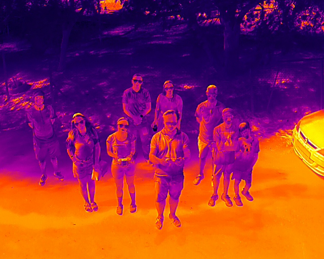
At the same time, the field trip also served as a hands-on training opportunity for our group members to become familiar with operating and handling our new equipment. We also captured the team’s activities with a DJI Mavic 3T thermal drone, adding a unique perspective to our fieldwork
Stay tuned as we process and analyze these datasets—exciting results are on the way!