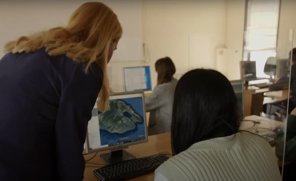
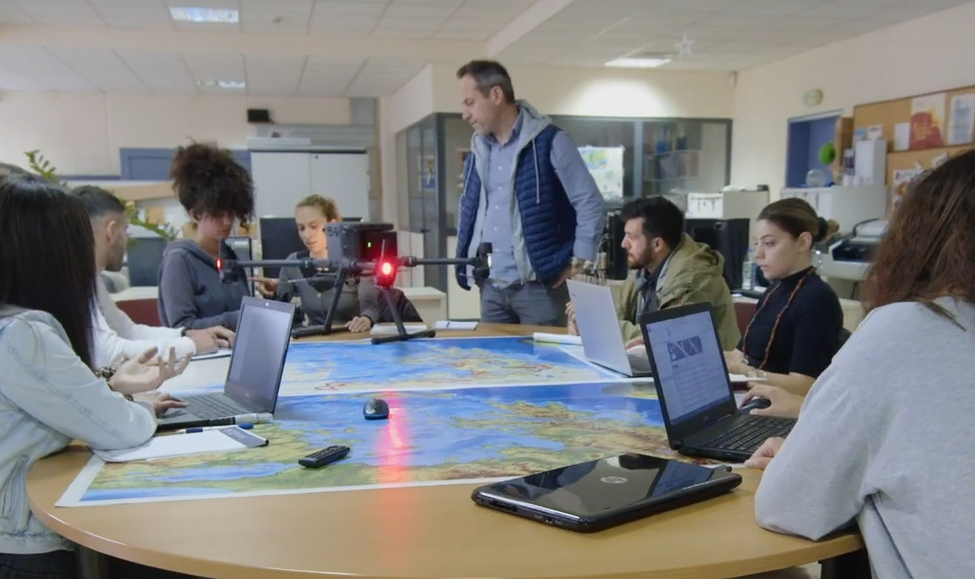
The Remote Sensing and GIS Research Group contributes to both undergraduate and postgraduate programs at the Department of Geography, University of the Aegean, by offering a range of courses that cover fundamental concepts and advanced topics in remote sensing, geographic information systems (GIS), and geoinformatics. Our curriculum is designed to provide students with both theoretical knowledge and practical skills, preparing them for research and professional careers in the field of geospatial sciences.
Undergraduate Program Courses
- Introduction to Remote Sensing
- Geographic Information Systems
- Applications of Remote Sensing
- Special Topics in Geoinformatics
- Introduction to Geoinformatics (co-teaching)
Postgraduate Program Courses
- Remote Sensing and Digital Image Analysis
- Special Topics in Applied Geoinformatics
- Programming for Geographic Applications (co-teaching)