
Remote Sensing Interactive Exhibition
Remote Sensing Interactive Exhibition is an online educational application designed to introduce students and the public to the fascinating world of remote sensing through playful interaction. The main target audience is Greek students, hence the application is written in Greek. It consists of four activities, each focusing on different aspects of satellite imagery and Earth observation:
- “Guess the Place”: Users are presented with random satellite images and are challenged to recognize and name the location. This helps them understand how familiar landscapes look from space and trains visual interpretation skills.
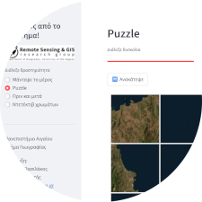
- “Puzzle”: A classic jigsaw-style game where a satellite image is split into tiles that are shuffled. Players drag the tiles to reconstruct the full image, improving spatial perception while interacting with real Earth observation data.
- “Before and After”: This interactive slider allows users to compare pairs of satellite images taken at different times. It highlights environmental and human-driven changes such as urban growth, deforestation, flooding, or agricultural development.
- “Color Detective”: A guided activity that explains the meaning of different colors in satellite images. Players learn how vegetation, water bodies, and urban areas are represented in remote sensing data, and why scientists use different spectral bands.
Technically, the application is developed in Python using Streamlit, a lightweight framework for creating interactive web apps. It is deployed via GitHub and Streamlit Cloud, which allows automatic updates whenever the code or image datasets are modified in the repository. All resources (images, logos, and activity datasets) are stored in well-structured folders, making it easy to expand the exhibition with new content in the future. Since it runs directly in the browser, no installation is needed — users can access the link (use full-screen mode) and start exploring.