Burned areas in Aegean Islands (1984-2019)
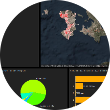
This study aimed to develop a methodology for an automated burned area mapping process. To achieve this, the Google Earth Engine platform was utilized. Using this platform, burned areas across the Aegean Islands were identified for the period 1984–2019. The satellite data used were derived from Landsat 5, 7, and 8 imagery, as well as Sentinel-2. Burned area delineation was based on the application of the Normalized Burn Ratio (NBR) to pre- and post-fire images, with the difference calculated using the dNBR index. The classified dNBR images obtained from Google Earth Engine were further processed using GIS software. The work conducted by our alumni E. Tsiotsiopoulos.
The resulted burned areas were mapped in a dynamical way as a dashboard which can be accessed here.